How to Find Your Virginia Planting Zone on the USDA Map
Choosing plants for a Virginia garden can feel confusing when a statewide planting calendar does not match the conditions in your own yard. A hardiness zone is a useful starting point, but it is not a planting date or a guarantee that a plant will thrive. Here’s how to locate your zone and use it alongside the other details that shape a garden.
What a planting zone tells you
A hardiness zone is a way to compare winter cold across locations and assess which perennial plants are more likely to survive there. It helps narrow choices for trees, shrubs and perennials that remain outdoors through winter. It can also help explain why a plant suited to one Virginia garden may be less dependable in another.
The zone is not a complete description of a garden. It does not tell you how much sun a bed receives, how quickly its soil drains, how often it is exposed to wind or when a spring frost is likely. Nor does it promise that a plant will thrive simply because its listed hardiness range includes the zone where your garden falls.
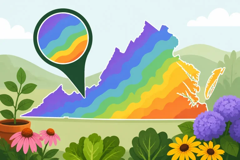
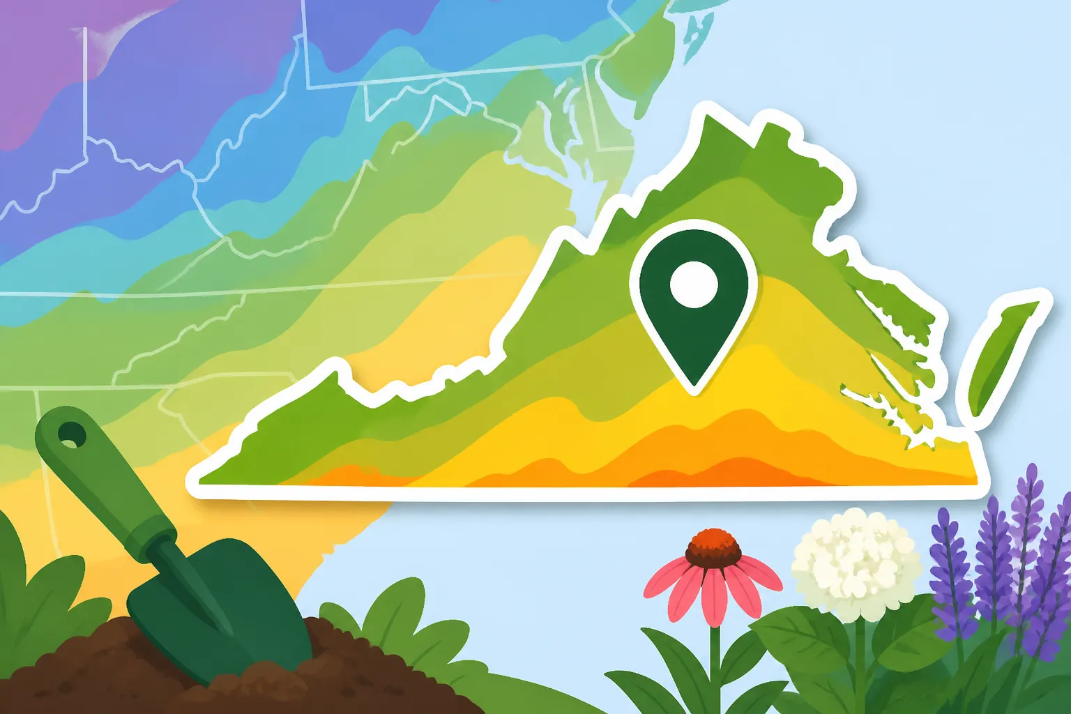
According to Virginia Cooperative Extension, use the 2023 USDA Plant Hardiness Zone Map to identify your area’s hardiness zone.
Think of the zone as a screening tool. If a plant is too vulnerable to the winter cold typical of your area, it may not be a reliable choice for an exposed, in-ground spot. If it is rated for conditions colder than those typical of your area, that is useful information—but it does not settle questions about heat, moisture, soil, pests or care.
Zones are most useful when comparing plants that need to survive outdoors year after year. They are less useful for deciding when to sow vegetable seeds, move tender seedlings outside or expect a harvest. Those tasks depend on growing-season timing, soil warmth and local weather as well as winter conditions. For that planning, start with Virginia Vegetable Planting Windows by Hardiness Zone and then adjust for your region and the conditions in your garden.
A useful distinction is:
- Hardiness zone: A broad indicator of winter cold and the likelihood that an established perennial can survive it.
- Planting window: A period when a crop or plant can be sown, transplanted or planted successfully.
- Microclimate: The conditions in a particular part of a yard, which may differ from the wider area around it.
These ideas overlap, but they are not interchangeable. A zone can help you make a shortlist of plants. It cannot tell you by itself whether a vegetable bed is ready for sowing, whether a particular spot stays waterlogged or whether a warm-season crop is safe from a late cold snap.
Get ready to look up your location
Before opening the map, decide what location you are trying to identify. A home gardener will usually want the zone for the garden itself, not a distant workplace, a mailing address in another town or a broad label such as a county name. If you are choosing plants for a different property, look up that property instead.
A search by ZIP code can be a convenient way to get oriented, but a ZIP code is not a garden-sized climate description. It may cover a wide area, and the map’s displayed result may not reflect the exact conditions at a particular house. Treat a ZIP search as a way to get close, then inspect the map around the actual location if its tools allow you to do so.
Have these details in mind:
- The garden’s town or general location.
- The ZIP code associated with the garden, if you plan to use a search box.
- A nearby road, landmark or place name that can help you recognize the right part of the map.
- Whether the garden is in a valley, on a slope, near open water, among buildings or in another setting that could affect local conditions.
You do not need to know your zone before you begin. The point of using the map is to look it up rather than infer it from a neighbor’s garden, an older plant label or a general description of the region.
If you are using a search field, enter location details carefully and check that the result lands in the intended area. A town name can refer to more than one place, and an address search may resolve to a nearby road or community rather than the garden itself. If the result looks wrong, try another location detail or move around the map until you recognize the right area.
For a county-level starting point, Finding Your Virginia County Planting Zone on the Updated Map can help frame the search. A county result is still a broad reference, though. It should not be mistaken for a zone assigned to every yard in that county.
Also check that you are using the current USDA map rather than a saved image, an old screenshot or a result copied into a gardening post years ago. Map versions can differ, so an old zone label may not correspond to the map you intend to use. When in doubt, return to the USDA Plant Hardiness Zone Map rather than relying on an unattributed graphic.
Find and confirm the zone on the map
The map lookup is straightforward, but it pays to check that you are reading the right location and the right kind of information. Follow this process:
- Open the official USDA Plant Hardiness Zone Map. Start from the USDA’s map rather than a third-party image that may be cropped, outdated or difficult to interpret.
- Search for the garden’s location if a search tool is available. Use a town, ZIP code, address or other location detail accepted by the map. If a search is not available, move to the relevant part of Virginia using the map controls.
- Check the result against a recognizable place. Confirm that the map is showing the correct town or nearby area. A result that is close but on the wrong side of a local boundary may not answer the question you are trying to solve.
- Zoom in enough to inspect the garden’s vicinity. Look at the zone shading or labels near the property rather than relying only on the result of a broad search.
- Read the legend and any map information. The legend explains how the map represents zones. Use it instead of guessing from colors or assuming that similar shades mean the same thing.
- Record the result for the location you actually plan to plant. If you garden at more than one property, keep the locations separate. Do not automatically apply one property’s result to another.
- Use the zone as a starting point, then check the plant and the site. Read the plant’s hardiness information and consider the yard’s exposure, soil and drainage before buying or planting.
A map result is only useful if you can identify what it applies to. When searching by ZIP code, compare the result with the map around the garden. When searching by town, check that the displayed location is the town you mean. When looking at a paper or saved map, make sure the legend is visible and the location has not been lost in a cropped image.
If the map shows a transition between shaded areas near your garden, do not treat the edge as a sharp fence line running across every property. A map presents regional information; the precise conditions at a planting spot still depend on the site. You can use the displayed zone to guide your choices, but avoid claiming more precision than the map or the location search provides.
It is also worth distinguishing between locating a zone and confirming a plant’s suitability. Once you have a zone result, check the plant’s label or reliable growing information for its recommended hardiness range. Then ask whether the plant’s other requirements suit the spot. A tree that is hardy enough for the broader area may still struggle in soil that stays wet, a bed that is heavily shaded or a location exposed to drying winds.
If a map result seems unexpected, verify the location before changing your plans. Check for a search error, inspect the legend and look at the surrounding map. Then compare the result with your actual garden conditions. A surprising result is a reason to review the lookup, not a reason to assume the map is wrong or that a neighbor’s label is automatically more accurate.
Read boundaries and close results with care
Maps turn gradual changes in climate into visible categories. That makes them practical for plant selection, but a colored boundary can suggest more certainty than a yard-level result can support. If your property is close to a boundary, the best approach is to use the map as a broad guide and make cautious plant choices where winter survival matters.
A search result can also appear more exact than the underlying information. A map may place a pin or return a location, but that does not mean it has measured the climate in a specific flower bed. In particular, avoid assuming that a result for a town, ZIP code or property pin accounts for the differences between a sheltered foundation bed and an exposed garden at the same address.
When the map’s result is close to a boundary, consider:
- How dependable the plant needs to be. A treasured specimen or an important landscape anchor may call for a more conservative choice than a plant you are willing to replace.
- Where you plan to put it. An exposed location may experience harsher conditions than a protected spot near a building or within a sheltered planting.
- What the plant information says. Check the entire recommended range and any notes about exposure, moisture or other growing needs.
- How flexible the design is. If a plant is a close call, consider whether you can place it in a more protected location or choose a plant with a more comfortable fit.
The map does not tell you exactly how cold a particular bed will get in a given winter. It provides a broad way to compare locations and assess perennial winter hardiness. A single cold spell, a windy site or a poorly drained planting area can still affect a plant differently from what the map alone might suggest.
If you are unsure about a borderline plant, do not force a yes-or-no answer from the zone label. Look for additional local information, ask a knowledgeable nursery or gardening professional about the plant’s performance in similar conditions, and decide how much risk is acceptable. A plant that survives only in a particularly sheltered spot may be a poor choice for a large, exposed bed, even if it can work in a protected corner.
The reverse is also true: a plant’s zone rating should not be used to reject it without considering how it will be grown. A container can be moved or protected in ways an in-ground planting cannot, while a sheltered site can differ from an open one. Those adjustments do not change the map’s result; they change the conditions the plant experiences.
Do not assign a zone to a specific address based on an approximate online result. If you need a practical garden decision, use the map to identify the broader area and then weigh the site’s conditions. For a deeper look at using a location search, see Virginia USDA Hardiness Zones: Looking Up Your Zone by ZIP.
Use the zone without mistaking it for a planting calendar
The most common frustration with planting zones is expecting them to answer questions they were not designed to answer. A hardiness zone helps with perennial winter survival. It does not tell you when the soil is warm enough to sow beans, when tomato seedlings can safely go outside or how long a vegetable crop has to mature before autumn conditions slow it down.
For vegetables, the planting decision usually involves several pieces of information:
- The crop’s tolerance of cold or heat.
- Whether it is sown directly or transplanted.
- The condition and temperature of the soil.
- The likely timing of spring and fall freezes in the garden’s area.
- How much time the crop needs to grow and produce.
A zone can contribute context, but it does not replace any of those checks. A calendar organized by zone can be a useful starting point, but regional differences and the weather in a particular season still matter. Compare a broad schedule with Virginia Vegetable Planting Calendar by Region rather than treating one zone label as a statewide schedule.
For example, a perennial plant that is hardy in your zone may be suitable to plant as a landscape choice, but the zone does not identify the best day to put it in the ground. The planting season, soil condition and plant type still matter. Likewise, finding a vegetable-growing recommendation for your zone does not prove that the bed is ready to plant today.
A helpful way to use the zone in planning is to separate the questions:
| Gardening question | What the zone can contribute | What else to check |
|---|---|---|
| Is a perennial likely to survive winter outdoors? | A broad indication of winter hardiness for the area | The plant’s listed range, exposure, drainage and protection |
| When should I sow a vegetable? | General regional context, if a calendar is organized by zone | Crop needs, soil warmth, freeze risk and local planting windows |
| Can this plant tolerate my garden’s summer conditions? | Little direct guidance about summer heat | Sun exposure, moisture, airflow and the plant’s heat tolerance |
| Will this exact spot behave like the map result? | A regional reference for the wider location | Yard-level slope, shade, wind, buildings and drainage |
| Should I trust a result from a ZIP search? | A convenient way to locate the general area | The map around the actual garden and the limits of the search |
For spring and fall vegetable decisions, freeze probability is more useful than treating a planting zone as a frost calendar. The timing of freezes varies, and a planting recommendation should reflect that uncertainty. Understanding Spring and Fall Freeze Probabilities for Planting explains why a forecast or probability-based date is not a guaranteed safe day.
If the main question is whether it is too late to sow or transplant, work backward from the crop’s needs and the likely end of the growing window rather than relying on the zone alone. How to Find Your Garden Planting Window by ZIP Code can help connect a location lookup with a more practical planting-window decision.
Keep two different reference notes for your garden if you use planting calendars regularly: the zone result for perennial selection, and the planting windows or freeze information you use for annual crops. That distinction prevents a common mix-up—using a winter-hardiness label as if it were a schedule for sowing every crop.
Account for Virginia’s local garden conditions
Virginia gardeners work with varied local conditions. Even within the same broad area, a yard’s slope, exposure, shelter and soil can affect what grows well and when garden work is practical. The map helps identify a regional hardiness context, but it cannot describe each of those details for you.
Elevation and terrain can influence how quickly a location warms and where cold air settles. A low spot may behave differently from a slope nearby, while a yard exposed to open winds may put more stress on a plant than a sheltered space. These observations do not replace the map; they help you interpret how a specific garden might differ from the mapped area around it. For local timing considerations, see Microclimates and Growing Windows Across Northern Virginia.
Buildings, paving and walls can also change conditions around a planting. A sunny area beside a structure may warm sooner than an open bed, while a shaded side of the same property may stay cool or damp. Those differences matter for plant growth, but they do not justify assigning a new formal zone to each corner of the yard. Think of them as site conditions that may make a plant more or less comfortable within the broader area shown on the map.
Soil is another separate consideration. A map cannot tell you whether your garden soil drains quickly, holds moisture, is compacted or suits a plant’s preferred conditions. A plant might be winter-hardy yet fail because its roots remain too wet, or because the site is too dry for it to establish well. Before using a zone match as a reason to buy, check that the plant’s soil and moisture needs match the bed.
Sun exposure deserves the same attention. A plant can survive winter in the area and still produce poorly or become stressed in a spot with the wrong light. Check the plant’s requirements and observe the garden through the day. A zone result does not substitute for that assessment.
When you compare your location with planting advice, give preference to information that fits both the mapped zone and your part of Virginia. A broad statewide recommendation can still be useful, but a regional calendar may help account for local differences in timing. The articles Virginia Vegetable Planting Windows by Hardiness Zone and Virginia Vegetable Planting Calendar by Region serve different purposes: one organizes advice around hardiness, while the other emphasizes regional variation.
It can help to keep a simple garden record. Note the zone result you used, the location it refers to, which plants did well, and where they were planted. Add observations about shade, wind, moisture and winter damage. Those notes will not change the official map, but they can help you make better choices for your own beds when a plant’s published range leaves room for uncertainty.
Do not assume that a friend’s garden, a nearby nursery or an online garden group has the same conditions as yours. Their location may be in the same broad area, but their yard could be more sheltered, better drained or exposed to different sunlight. Use their observations as useful context, not as a substitute for checking your own site.
Common mistakes when looking up a Virginia zone
A zone lookup is simple enough that it is easy to overlook what the result does—and does not—mean. Avoid these frequent mistakes:
- Using an old map image. Check that the map is the version you intend to use, rather than relying on a saved graphic without a visible title or legend.
- Stopping at a ZIP-code result. Use the result to orient yourself, then inspect the area around the actual garden.
- Treating a county label as a property-level answer. Counties can cover varied landscapes. A county reference is not a guarantee for every yard.
- Reading a color without checking the legend. Map colors are only meaningful when you know how the map defines them.
- Assuming the zone predicts frost dates. A hardiness zone is not a date for the last spring freeze or first fall freeze.
- Using the zone to set vegetable planting dates. Crop type, soil and seasonal weather all matter.
- Assuming a hardy plant will thrive anywhere in the area. Winter survival is only one part of plant suitability.
- Overreacting to a boundary. A boundary is useful information, but it does not describe every small difference within a yard.
- Giving a location more precision than the lookup supports. A map result is not a measurement of conditions at an individual planting bed.
- Ignoring what happens after planting. Water, light, soil, establishment and ongoing care influence performance after the plant is in the ground.
If a result conflicts with your own observations, start by checking the lookup. Make sure the map is centered on the right place, the legend is visible and the search has not landed on a similarly named location. If those details check out, consider whether the plant’s performance reflects a garden condition the map does not show.
If a perennial is damaged after winter, do not conclude automatically that your zone lookup was wrong. The plant may have struggled with wet soil, exposure, a sudden temperature change, a planting mistake or another stress. The map is a planning aid, not a diagnosis of plant failure.
Similarly, success with a plant does not mean every similar plant will succeed in the same spot. Different species and varieties can have different needs, and a single sheltered location can be more forgiving than the rest of the garden. Keep the result in perspective and use plant-specific information for the actual decision.
The most useful routine is to check the map when choosing long-lived landscape plants, keep a note of the result and then use crop-specific or seasonal guidance for vegetables and annual garden tasks. When a choice is close, consider the cost of failure and choose a more dependable option if the plant needs to last for years.
Frequently Asked Questions
Does my ZIP code have one planting zone?
A ZIP-code lookup can help you find the general area on the map, but it may not describe the exact conditions at every garden within that area. Check the map around the property and use the result as regional guidance rather than an address-level guarantee.
Does a hardiness zone tell me when to plant vegetables?
No. The zone is useful for assessing perennial winter hardiness, but vegetable planting decisions also depend on crop needs, soil conditions and seasonal freeze risk. Use a regional calendar or planting-window resource for sowing and transplanting.
Can my garden behave differently from the map result?
Yes. Slope, exposure, shelter, buildings, shade and drainage can make a particular bed differ from the wider area. Those details affect plant performance but do not change the map lookup itself.
Should I choose a plant that is barely suited to my zone?
That depends on how much risk you are willing to accept and what the site is like. For an important or hard-to-replace planting, a more dependable match may be a safer choice. Check the plant’s full requirements, not only its hardiness rating.
Disclaimer
This article is for general informational purposes only and does not constitute professional advice. Laws, prices and regulations vary by location and change over time. Consult a qualified professional for guidance on your specific situation. Virginia Gardening Guide is not a government agency and is not affiliated with any university extension, state department of agriculture or other government agency.